QGIS and Power Distribution network Modeling
QGIS is a free open source Geographic Information System. I have been using QGIS to spot the location of net stations along the medium voltage network which is nice advantage
.
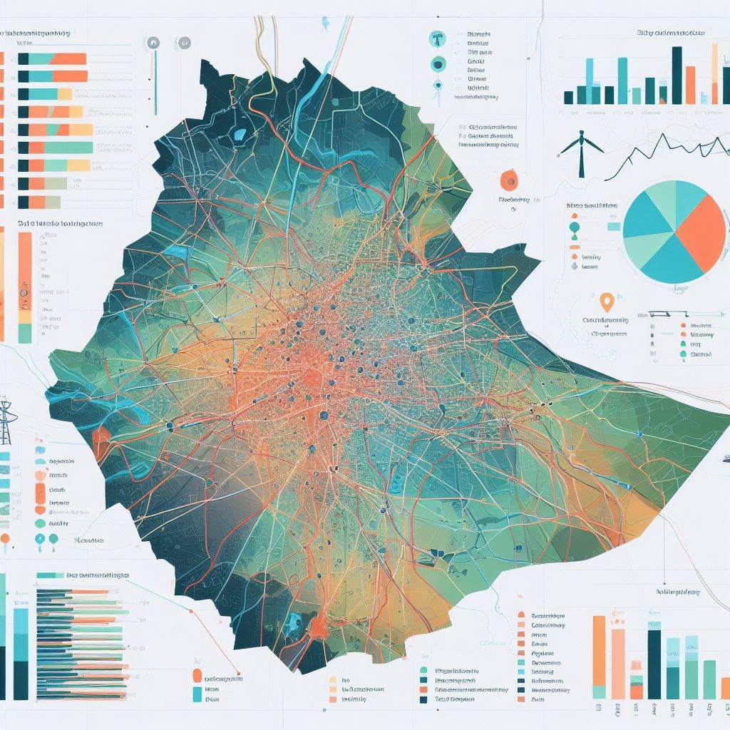
t is also possible to map the distribution network. However there are no methods for finding the load centers ,so am working on methods on how to integrate Python .But before that i tried to use visiual catagory tools and try to identify load areas using capacity of transformer and by identifying range of coverage to the surrounding house . View Image
To use as load analysis it needs image processing tools or python applicaiton . If the household meter reading is detected the data could easily be used to add the information and include in
The implementaiton and analysis of large data could be easily handled.
Here are samples :-

Comments
Post a Comment